
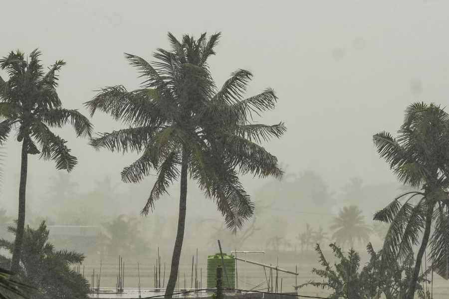
Bhubaneswar: The Odisha government has placed several districts on high alert and stepped up preparedness as Cyclone Arnab is forecast to intensify into a very severe cyclonic storm before crossing the Andhra Pradesh-Yanam coast on the forenoon of October 28.
Chief Minister Mohan Charan Majhi has deployed both Deputy Chief Ministers, six ministers and five senior IAS officers to vulnerable districts to oversee preparedness and ensure the smooth management of relief, rehabilitation and restoration operations.
The state administration has directed district authorities to make adequate arrangements and maintain close vigil on the evolving situation in view of the potential impact of the cyclone.
According to the India Meteorological Department (IMD), Cyclone Arnab, currently over the east-central and adjoining west-central Bay of Bengal, moved west-northwestwards and was centred over the same region Monday, about 580 km southeast of Gopalpur in Odisha.
The system is very likely to continue moving west-northwestwards and intensify into a severe cyclonic storm by Monday evening. It is expected to strengthen further into a very severe cyclonic storm over the west-central Bay of Bengal on Tuesday.
Thereafter, the system is likely to move northwestwards and cross the Andhra Pradesh-Yanam coast between Bapatla and Visakhapatnam, close to Yanam, during the forenoon of October 28. At the time of landfall, the cyclone is expected to have maximum sustained wind speeds of 115-125 kmph, gusting to 140 kmph.
The IMD has forecast light to moderate rainfall or thundershowers at most places across Odisha until October 31.
An orange warning has been issued for Puri, Gajapati, Ganjam, Rayagada, Koraput and Malkangiri districts. Thunderstorms accompanied by lightning and gusty surface winds of 40-50 kmph are likely at one or two places in these districts.
The meteorological department has also issued a yellow warning for possible heavy rainfall at isolated places in Baleshwar, Bhadrak, Jajpur, Kendrapada, Kataka, Kendujhar, Mayurbhanj, Kandhamal, Kalahandi, Nabarangpur, Khordha, Nayagada, Jagatsinghpur, Nuapada, Balangir and Boudh districts.
Thunderstorms accompanied by lightning and gusty winds of 30-40 kmph, gusting to 50 kmph, are also likely at isolated places in these districts.
The IMD said gale-force winds of 65-75 kmph, gusting to 85 kmph, were prevailing over the east-central and adjoining west-central Bay of Bengal.
Wind speeds are likely to increase further as the system moves west-northwestwards, reaching 90-100 kmph, gusting to 110 kmph, over the west-central and adjoining east-central Bay of Bengal by midnight October 26.
The wind speed is expected to rise to 115-125 kmph, gusting to 140 kmph, from the afternoon of October 27 until landfall on the forenoon of October 28.After landfall, wind speeds are forecast to gradually decrease to 60-70 kmph, gusting to 80 kmph, by the evening of October 28.
Squally winds of 40-50 kmph, gusting to 60 kmph, are likely to begin affecting the interior districts of southern Odisha and southern Chhattisgarh from the night of October 27.
From the early hours of October 28, gale-force winds of 60-70 kmph, gusting to 80 kmph, are likely over the southernmost districts of Odisha, including Ganjam, Gajapati, Nabarangpur, Rayagada, Koraput and Malkangiri.
These conditions are expected to continue until October 28, followed by squally winds of 50-60 kmph, gusting to 70 kmph, until the morning of October 29. Wind speeds are likely to decrease gradually thereafter.
The IMD said sea conditions were already high over the east-central and adjoining west-central Bay of Bengal.
They are expected to become very high by midnight October 26 and phenomenal over the west-central Bay of Bengal from the afternoon of October 27 until landfall October 28.
Conditions are likely to begin improving after landfall, becoming very high to high by the evening of October 28 and very rough to rough by the morning of October 29, before gradually improving further.
Along and off the adjoining southern Odisha coast, sea conditions are expected to remain rough to very rough from the evening of October 27 until the evening of October 28.
The IMD has advised fishermen not to venture into the west-central Bay of Bengal from October 26 to October 29 along and off the Andhra Pradesh and Odisha coasts.
As a precautionary measure, Distant Warning Signal No. II (DW-II) has been hoisted at Paradip and Dhamra ports along the northern Odisha coast.
Local Warning Signal No. IV (LW-IV) has been hoisted at Puri and Gopalpur ports along the southern Odisha coast.
Chief Minister Mohan Charan Majhi has deployed the two Deputy Chief Ministers, six ministers and five senior IAS officers to districts likely to be affected by the cyclone.
The districts identified for special monitoring include Rayagada, Koraput, Ganjam, Gajapati, Malkangiri, Kalahandi and Nabarangpur.
The ministers and senior officers have been directed to reach their respective assigned districts and remain there from October 27 to October 29.
They will oversee preparedness and coordinate post-cyclone relief, rehabilitation and restoration work, while ensuring that the district administrations remain ready to respond to any emergency arising from the cyclone.
The state government has urged the administration to maintain heightened vigilance and ensure that necessary arrangements are in place ahead of the cyclone’s expected landfall.