
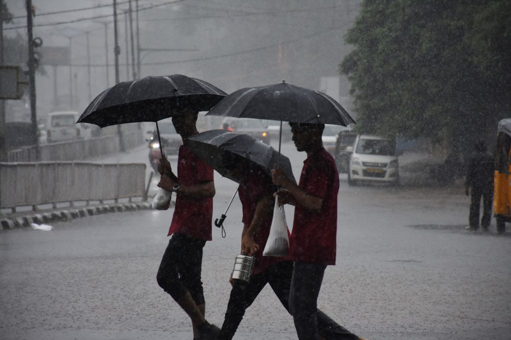
Bhubaneswar: The well-marked low-pressure area over the Bay of Bengal and adjoining areas of the Odisha-West Bengal coast has intensified into a depression, the Regional Centre of India Meteorological Department (IMD) said Sunday.
The system lies about 130 km south-southeast of Sagar Island (West Bengal), 140 km southeast of Digha (West Bengal), 170 km east of Chandbali (Odisha) and 180 km east-southeast of Balasore (Odisha), it said.
It is very likely to move northwestward, intensify further into a deep depression over the next 24 hours, and cross the North Odisha-West Bengal coast between Paradip and Sagar Island around Monday noon, the weather office said.
Under its impact, heavy to very heavy rainfall is likely in most parts of Odisha till July 29.
Extreme heavy rainfall is expected in Jajpur, Kendrapada, Jagatsinghpur, Kataka, Anugola and Dhenkanal districts Sunday. The IMD has issued a ‘red alert’ (take action) for these districts.
Forecasting heavy to very heavy rainfall Sunday, the weather department has issued an ‘orange alert’ (be prepared to take action) for Baleshwar, Bhadrak, Sundargada, Jharsuguda, Baragada, Sambalpur, Debagada, Kendujhar, Mayurbhanj, Kalahandi, Kandhamal, Sonpur, Boudhgada, Nuapada, Balangir, Puri, Khordha, and Nayagada districts.
Besides, ‘yellow alert’ (be aware) has been issued for Nabarangpur, Rayagada, Koraput, Malkangiri, Gajapati and Ganjam districts.
The weather office has advised fishermen not to venture into the sea along and off the Odisha coast till July 29. Local Cautionary Signal No. III (LC-3) has been hoisted at all ports of Odisha.