
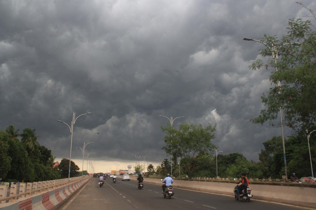
Bhubaneswar: Amid the continuing dry weather conditions with light to moderate rain in some parts of Odisha, the India Meteorological Department (IMD) Sunday warned of thunderstorm activity with gusty winds in 12 districts October 7-8.
Thunderstorms accompanied by lightning and gusty surface wind (30-40 kmph) may occur in Baleshwar,Bhadrak, Jajpur, Kendrapada, Jagatsinghapur, Kataka, Sundaragada, Debagada, Anugola, Dhenkanal, Kendujhar and Mayurbhanj on these two days.
The state is also possibly staring at the post-monsoon season’s first low-pressure system, which is likely to form over the Bay of Bengal around October 13, raising the prospect of unsettled weather ahead of Dussehra and Durga Puja festivities.
According to the IMD’s extended-range outlook issued October 1, cyclonic circulation is expected to emerge over the North Andaman Sea around October 12.
Under its influence, a low-pressure area is likely to form over the Andaman Sea the following day and move west-northwestwards into the southeast Bay of Bengal.
The agency has assessed a low probability of the system intensifying further into a depression over the central parts of the south Bay of Bengal and adjoining central Bay of Bengal around October 15.
Numerical models, including the European Centre for Medium-Range Weather Forecasts and the American Global Forecast System, broadly agree on the emergence of the low-pressure area and its possible development into a depression or deep depression.
However, there is no clear consensus on further intensification into a cyclonic storm or on the precise track.
“The ECMWF ensemble prediction system is also indicating low probability (10-30%) of formation of a depression over the southeast BoB towards the end of week 2 around October 13.
ECMM is not showing any cyclogenesis over the region during the forecast period. IMD ERF Model is indicating a (40-50%) probability of cyclogenesis (formation of depression) in land regions over Central India & NW India and a low (20-30%) probability of cyclogenesis over west-central BOB during week 1.
During week 2, the model is indicating a low (20-30%) probability of cyclogenesis over the west-central BOB and Andaman Sea.”
Some guidance suggests a possible path towards the Myanmar coast, while other projections point to a more westward movement that could bring the system closer to the south coastal Andhra Pradesh region.
Officials stress that it remains too early to determine landfall location or final intensity.
Meteorologist Surendranath Pashupalak has confirmed the possible formation of a cyclonic system over the Bay of Bengal, which may intensify into a low-pressure area, but cautioned that it is currently impossible to state whether it will develop into a full-fledged cyclone, where it might make landfall, or how severe it could become.
As of now, the US agency NOAA has not issued a strong signal confirming a cyclone.
Experts indicate that the system’s trajectory, strength and potential impact will become much clearer around October 5 as more data becomes available.
Authorities and weather scientists are continuously monitoring the evolving conditions and have urged the public to follow official IMD updates rather than speculative reports