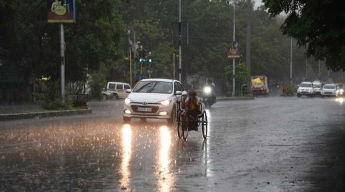
Chennai: A deepening weather crisis triggered by Cyclone Ditwah has prompted the India Meteorological Department (IMD) to issue a red alert for Tiruvallur and Ranipet districts Sunday, warning of extremely heavy rainfall and strong winds.
The intensifying cyclonic system over the southwest Bay of Bengal continues to advance towards the Tamil Nadu-Puducherry coast, bringing widespread rain bands and dangerous wind speeds across several northern and central districts.
Underlining the gravity of the situation, the IMD has also placed Chennai, Chengalpattu, Kancheepuram and Villupuram districts under an orange alert, forecasting very heavy to extremely heavy rainfall throughout the day.
As Cyclone Ditwah edges closer to the coast, the atmospheric instability has surged sharply, increasing the possibility of intense downpours during the night and early hours of Sunday. The Regional Meteorological Centre (RMC), Chennai, has further indicated that Tiruvannamalai, Vellore, Tirupattur, Krishnagiri and Dharmapuri will also experience sustained spells of heavy rainfall.
In addition, Salem, Kallakurichi and Cuddalore districts, along with neighbouring Puducherry, are expected to witness significant showers as the outer spiral bands of the cyclone sweep across inland areas.
Strong winds remain a major concern for authorities. According to the IMD advisory, wind speeds may reach up to 75 kmph across the southern coastal and delta districts, particularly Nagapattinam, Thanjavur, Tiruvarur and Pudukottai. In contrast, the northern coastal districts and Puducherry may face stronger winds, touching 80 kmph, posing risks to power lines, trees, and vulnerable shelters.
Despite the current high-alert scenario, officials have provided some relief by stating that all districts except Tiruvallur are likely to see a reduction in rainfall intensity Sunday as the cyclone begins to weaken after land interaction.
Disaster response teams are on standby across affected regions, and district administrations have urged people to stay indoors, avoid waterlogged zones, and follow official instructions closely.
With Cyclone Ditwah continuing to influence weather patterns across large parts of Tamil Nadu, authorities emphasise that the next 24 hours are crucial in preventing casualties and minimising damage. Residents have been advised to keep emergency supplies ready, monitor official weather updates regularly, and refrain from venturing near rivers, sea coasts and flooded areas until conditions stabilise.
IANS
