
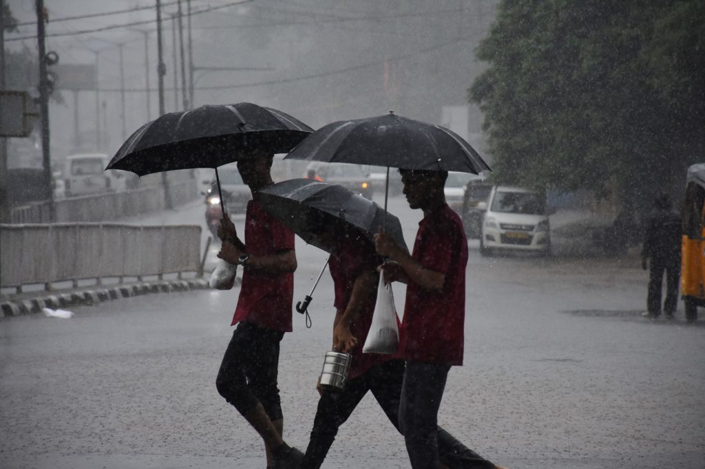
Bhubaneswar: The cyclonic circulation over the Andaman Sea weakened Wednesday morning, dashing the India Meteorological Department’s forecast that it would intensify into a low-pressure area October 13.
Meanwhile, rain continued in several parts of Odisha under the influence of a western disturbance.
Cloudy skies and light drizzle were reported at several places, particularly in coastal areas.
The IMD has forecast intermittent rain in parts of Odisha till Dussehra, with rainfall likely to increase slightly from Thursday.
A yellow warning has been issued for Sundaragada, Kendujhar, Mayurbhanj, Ganjam, Gajapati, Rayagada, Koraput and Malkangiri districts.
For October 16, the warning covers Kandhamal, Ganjam, Gajapati, Nayagada, Puri and Khordha districts. Thunderstorms accompanied by lightning and gusty winds are likely October 17 in parts of northern and southern Odisha.
A yellow warning has been issued for Koraput, Malkangiri, Rayagada, Gajapati, Ganjam, Kendujhar, Mayurbhanj and Baleshwar districts.
The IMD said conditions were becoming favourable for the further withdrawal of the southwest monsoon from remaining parts of the country over the next two to three days.
Conditions are also becoming favourable for the onset of northeast monsoon rainfall over the southern peninsular region.
Baragada recorded the highest maximum temperature in the state at 35 degrees Celsius, followed by Paralakhemundi at 34.5 degrees Celsius, Baleshwar at 34.2 degrees Celsius, and Talcher, Malkangiri and Chhatrapur at 34 degrees Celsius each.