
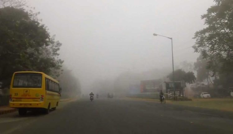
Bhubaneswar: Dense fog is likely to envelope the coastal regions of Odisha between February 7 and 9 with western disturbance approaching eastern India, a release from Centre for Environment and Climate (CEC), SOA Deemed to be University, said Tuesday.
Under its influence, north and interior districts of the state may experience rain accompanied by thunder and hail February 8 and 9. These districts include Sundargarh, Jharsuguda, Sambalpur, Bargarh, Deogarh, Balangir, Sonepur, Keonjhar, Mayurbhanj, Balasore and Jajpur, it said, adding that moderate fog is likely in interior Odisha during this period.
The day and night temperatures are expected to rise till February 7 and fall after that due to rain and cloud cover. There may be a decrease in day and night temperatures between February 10 and 12, the release added.
Though the day temperature in Odisha will rise above 30°C, the cold condition during the night is likely to continue till February 7, said a release by the CEC.
According to the release, the fluctuation in the day and night temperatures is due to a clear sky. However, a western disturbance in eastern India is likely to cause light to moderate rainfall with thunderstorm accompanied by hail between February 8 and 10 over north Odisha districts. Due to cloudy weather, there will be an increase in the night temperature from February 7. But a fall in the night temperature is most likely from February 11.
The release further said that a strong westerly wind of about 200 km at a height of 12 km above mean sea level, known as Jet Stream, was blowing over north Odisha. It was created due to the difference in cold air mass in north and warmth in the south.