
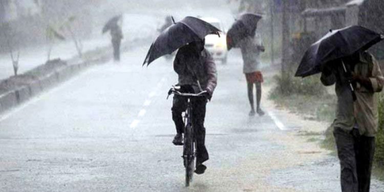
Bhubaneswar: The India Meteorological Department Friday forecast heavy rainfall in several parts of Odisha for another three days under the impact of a low-pressure area over the Bay of Bengal.
The weather system, which lay over Gangetic West Bengal and adjoining Jharkhand and north Odisha Friday, is very likely to weaken gradually during next 24 hours, Director of IMD Bhubaneswar Centre, Manorama Mohanty, said.
A ‘yellow alert’ (be aware) for heavy rainfall has been issued for some places in Sundaragada, Bargada, Kendujhar, Mayurbhanj, Nuapada, Balangir Saturday, she said.
Heavy downpour is also likely to occur at one or two places in Keonjhar and Mayurbhanj districts Sunday and over Sundaragada, Jharsuguda, Kendujhar, and Mayurbhanj Monday, Mohanty said.
Light to moderate rainfall could occur in several other parts across the state till July 22, she said.
On Friday, the highest rainfall of 34.2 mm was recorded at Baripada in Mayurbhanj district, followed by Balangir at 15 mm, the IMD said in a bulletin.
Malkangiri registered a rainfall of 14.2 mm, Jharsuguda (11.6 mm), Nuapada and Sonpur (8 mm) and 5 mm at Daringibadi in Kandhamal district, it said.
During the current monsoon season till Friday, Odisha has received an average rainfall of 446.9 mm, 17 per cent more than the normal of 382.8 mm, another official said.