
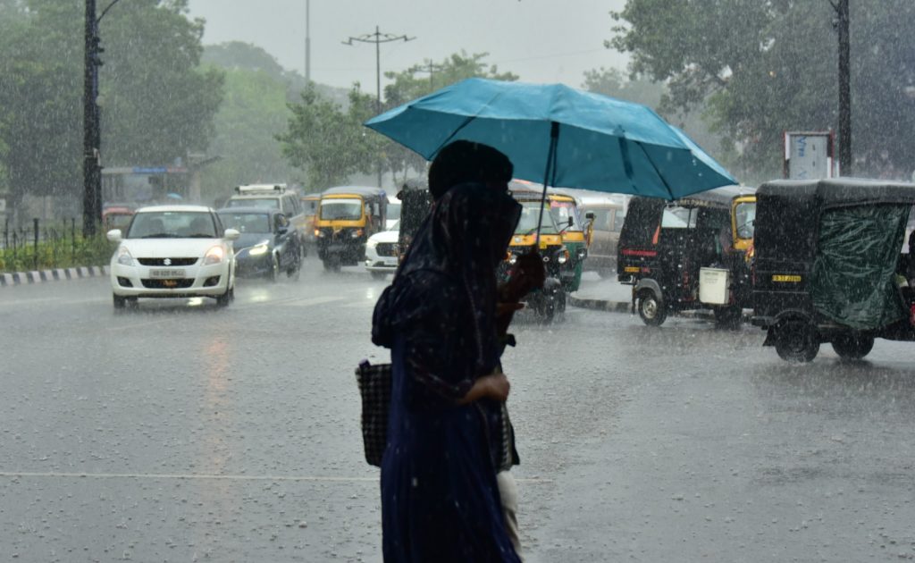
New Delhi: The monthly average rainfall over India is expected to be below normal during July, the India Meteorological Department said Tuesday in its monthly forecast.
The weather department stated that July is most likely to see 94 per cent of the long-period average rainfall (1971-2020). The LPA rainfall over India in July is about 280.4 mm.
LPA refers to the rainfall recorded over a particular region for a given period, such as a month or a season, averaged over a long period, typically 30 to 50 years.
Some areas of northwest and northeast India, east-central India and the eastern peninsular region are likely to receive normal to above rainfall, the IMD said.
In a statement, Dr Mrutyunjay Mohapatra, director general of meteorology at the IMD, said, “During July, below-normal rainfall is likely across most parts of the country except some areas of northwest and northeast India, east-central India and the eastern peninsular region, where normal to above-normal rainfall is likely.”
In June, India as a whole witnessed a rainfall deficit of about 40 per cent, with Central India worst affected with a deficit of 50.4 per cent. The country experienced the fifth-lowest (99.5 mm) rainfall in June since 1901.
This below-normal rainfall during the monsoon season occurred due to five main factors, according to Mohapatra.
First, an unfavourable phase of the Madden-Julian Oscillation (MJO), which is a moving system of wind, cloud, and pressure that brings rain as it circles the equator.
Also Read : Odisha weather: Heavy rain lashes Bhubaneswar, Kataka; IMD issues alerts for several districts
During a favourable phase, the MJO brings more clouds to southern India, which are then carried northwards by the monsoon winds, leading to enhanced rainfall.
Second, there were no low-pressure systems (LPSs) formed during June. LPSs are essentially areas where atmospheric pressure is lower than in their surrounding regions.
Given that winds travel from high-pressure to low-pressure areas, these systems act like a magnet, pulling in moisture-laden winds, helping trigger rainfall, and pushing the monsoon inland.
Third, most of the typhoon systems that formed during June recurved to the North-Northwest direction, which led to subdued LPS over the Indian Ocean region.
Fourth, the emergence of El Nino conditions this month also negatively impacted the rainfall activity.
El Nino is one of the three phases of the El Nino Southern Oscillation (ENSO) – a climate phenomenon characterised by changes in sea temperatures along the central and eastern tropical Pacific Ocean, accompanied by fluctuations in the atmosphere overhead.
While El Nino, which leads to less monsoon rainfall in India, is known to have a warming effect over the planet, its opposite phase, La Nina, usually results in a cooling effect. ENSO also has a neutral phase.
As Indian Ocean Dipole (IOD) conditions are currently neutral, they cannot help to counter the El Nino’s negative impact – positive IOD conditions typically result in more rainfall.
Speaking about the advancement of the southwest monsoon, Mohapatra noted that conditions are favourable for further movement into the remaining parts of Uttarakhand, Himachal Pradesh, and Ladakh, and more parts of Gujarat, Madhya Pradesh, and Uttar Pradesh in the next 2-3 days.
During this period, the monsoon is also likely to advance into the entire Daman and Diu, Jammu and Kashmir, most parts of Haryana, Chandigarh, Delhi, and Punjab, and some parts of Rajasthan.
As for temperatures in July, the IMD has said that maximum temperatures are expected to remain above normal across most parts of India, except a few isolated areas in West Central India, where normal to below-normal maximum temperatures are likely.
“Meanwhile, the minimum temperatures are also expected to be above normal over most regions of the country, except some isolated pockets of Central and Northeast India, where normal minimum temperatures are likely,” the IMD said.