
Los Angeles: Scientists have created high-resolution maps of points around the globe where groundwater meets the oceans — the first such analysis of its kind that may help protect both drinking water and the seas.
In a study published in the journal Geophysical Research Letters, researchers from The Ohio State University in the US showed that nearly half of fresh submarine groundwater discharge flows into the ocean near the tropics.
The team worked with researchers at NASA’s Jet Propulsion Laboratory and the University of Saskatchewan to combine topographical data from satellites and climate models to show the flow of groundwater around the world’s coasts.
They also found that regions near active fault lines — the area around the San Andreas Fault in California, for example — sends greater volumes of groundwater into the ocean than regions that are tectonically stable.
“Freshwater-groundwater discharge is a natural line of defense against saltwater intrusion,” said Audrey Sawyer, an assistant professor at Ohio State.
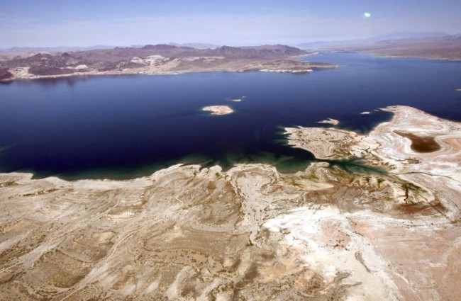
“It’s a problem that dry regions have as little groundwater discharge as they do because these are also the places where people are going to tend to look for groundwater to meet their freshwater needs,” said Sawyer.
These findings may help coastal communities better protect and manage their drinking water.
The research work, the first near-global and spatially distributed high-resolution map of fresh groundwater flow to the coast, could give scientists better clues about where to monitor groundwater discharge.
So far, most of the research regarding coastal water quality and how it affects the biochemical makeup of the world’s lakes and oceans, has been conducted on rivers and streams since most of the water that gets to lakes and oceans comes from surface water sources.
However, groundwater plays an important role, too, carrying minerals and, in some cases, pollutants, to surface bodies of water.
“If you’ve ever been swimming in a lake or in the ocean in the summertime and you go through a cold patch, that is probably a place where groundwater is coming out,” Sawyer said.
“And that’s just one way that groundwater affects surface water — in that case, it’s affecting temperature, but it also affects the chemistry of the water. These effects can be hard to measure over large scales,” he said.
The team started building these images since they found that there was limited information showing where groundwater was most likely to flow into the oceans.
Groundwater, for example, can carry higher concentrations of nitrates — a key contributor of the types of harmful algal blooms — as well as high concentrations of mercury.
The study found that in some parts of the world, groundwater could be polluting oceans and lakes with nutrients and other chemicals.
Understanding how and where groundwater gets to surface water could help policymakers create better plans to improve those bodies of water.
The study also found that climate heavily influences groundwater flow, and that cities in dry areas are especially vulnerable to saltwater contamination of aquifers.
PTI