
Bhubaneswar: In a significant move to tackle urban flooding and protect the state’s natural water systems, the state government has proposed a comprehensive statewide framework to identify, restore, protect and monitor natural drainage channels, water bodies and flood-retention areas across all urban local bodies (ULBs).
The proposed Standard Operating Procedure (SOP) aims to prevent encroachment, unauthorised filling, blockage and diversion of natural drainage pathways, while ensuring that urban development does not compromise the free flow of rainwater or reduce the capacity of areas that store excess water during heavy rainfall.
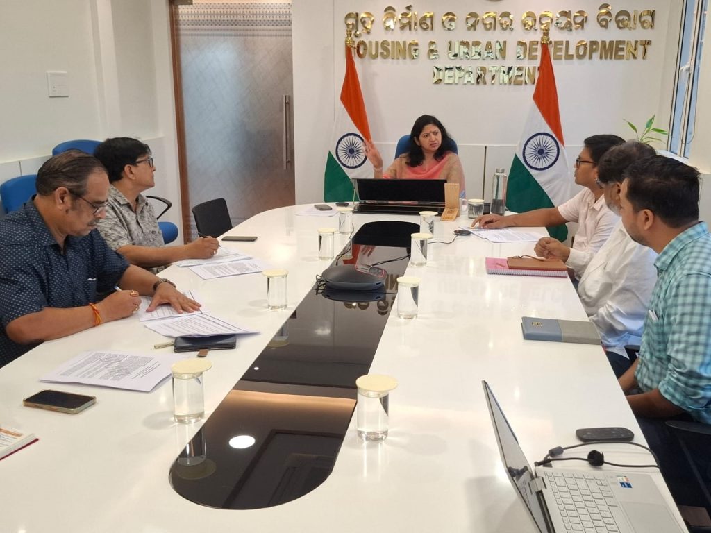
Housing and Urban Development department Additional Chief Secretary Usha Padhee emphasised the need for a coordinated, scientific and systematic approach to safeguarding natural drainage systems and water bodies during a meeting held here Wednesday to discuss the proposed SOP.
Padhee directed the concerned authorities to systematically identify and map critical drainage channels, ponds, wetlands and other flood-retention areas, with particular emphasis on vulnerable locations prone to waterlogging and flooding.
She stressed that natural drainage pathways must be protected from encroachment, unauthorised filling, blockage, diversion and other alterations that could disrupt the natural movement of water and aggravate flooding in urban areas.
Padhee also underlined the importance of effective coordination among government departments and urban local authorities to ensure that the protection of natural drainage systems becomes an integral part of urban planning and infrastructure development.
A key principle guiding the proposed framework is “No Net Loss of Natural Drainage and Flood-Storage Capacity.”
The principle seeks to ensure that development activities do not disrupt drainage connectivity or diminish the ability of natural areas to retain excess rainwater.
Under the proposed SOP, critical drainage networks and water bodies across all ULBs would undergo identification, surveys, geo-referencing and Geographic Information System (GIS)-based mapping. The mapped assets are proposed to be incorporated into urban development plans, land use plans and Comprehensive Storm Water Drainage Master Plans.
This integration is expected to strengthen urban planning, improve development-permission processes and support more effective flood-management measures.
The draft framework also envisages the formation of District-Level Committees and dedicated enforcement task forces to coordinate the identification, protection, restoration and monitoring of natural drainage systems and water bodies.
These committees could function under the chairpersonship of the respective District Collectors, providing an institutional mechanism for coordinated action among the departments and authorities concerned.
The proposed framework seeks to bring the protection of natural drainage systems within the broader framework of urban planning, land-use regulation and infrastructure development.
By preserving natural water channels and flood-retention areas, the initiative aims to reduce avoidable flood risks, minimise damage to public infrastructure, and safeguard lives and property.
It also seeks to promote safer, more sustainable and climate-resilient urban settlements across Odisha.
However, the SOP is currently at the draft stage and remains under consideration.
The state government will consider its approval and determine the appropriate mechanism for its formal issuance and implementation, official sources said.