Bhubaneswar: India Meteorological Department Friday said Odisha is likely to receive below-normal rainfall during the monsoon season from June-September this year due to El Nino conditions.
As per the long-range weather forecast, north and western Odisha could record below-normal rainfall, while it is likely to be normal or above in the southern and central parts of the state, IMD Bhubaneswar Centre Director Manorama Mohanty said.


She said day temperatures in Odisha would remain in the range of 41-43 degrees Celsius at several places over the next two days.
Hot and humid weather would prevail in Balasore, Bhadrak, Jajpur, Kendrapara, Jagatsinghapur, Cuttack, Gajapati, Ganjam, Puri, Khurda, and Nayagarh districts Saturday, the official said.
Thunderstorms accompanied with lightning and gusty surface winds of speeds reaching up to 60-70 kmph is likely to occur in Sundargarh, Jharsuguda, Sambalpur, Angul, Keonjhar, Mayurbhanj, Boudh, Nuapada, Bolangir, Kalahandi, Kandhamal, and Deogarh districts Saturday, the IMD said in a bulletin.
An ‘orange warning’ (be prepared to take action) has been issued for these districts for Saturday.
Meanwhile, a ‘yellow warning’ (be aware) has been sounded for Balasore, Bhadrak, Jajpur, Kendrapara, Jagatsinghapur, Cuttack, Bargarh, Dhenkanal, Sonepur, Nabarangpur, Rayagada, Koraput, Malkangiri, Gajapati, Ganjam, Puri, Khurda, and Nayagarh districts.
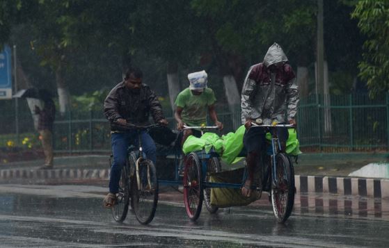
Officials said a whirlwind (a storm with strong winds that move in a circle) along with rain affected several parts of western Odisha’s Sonepur and Sundargarh districts on Thursday, crippling power and water supply, and uprooting trees and electric poles.
Personnel have been engaged in all affected areas for clearance of road blockages and restoration of normal communication, they said.
About 350 houses have been damaged in the storm in Sundargarh district, the officials said.
Several parts of Mayurbhanj, Kandhamal, and Kenonjhar were also impacted by the whirlwind, they added.
PTI