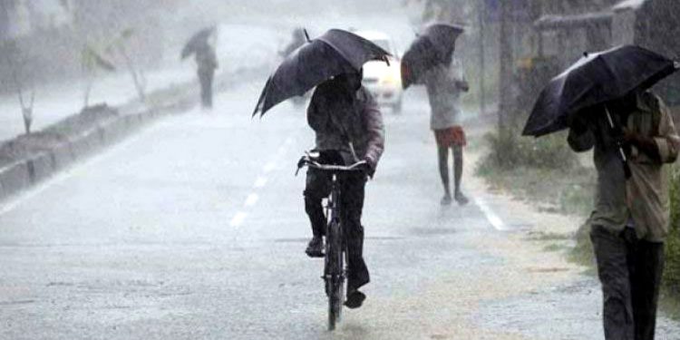
Bhubaneswar: IMD Saturday forecast extremely heavy rainfall in five districts of north and coastal Odisha till August 31 in the wake of a low-pressure area formed over the Bay of Bengal, officials said.
The weather system is likely to trigger intense rainfall in northern, interior and coastal parts of the state, the India Meteorological Department (IMD) said.


Rainfall of more than 20 cm is likely at isolated places in Kendujhar, Mayurbhanj, Baleshwar, Bhadrak and Kendrapada districts till Monday, an official said, adding that rainfall activity may continue in the state till September 4.
The state authorities have taken precautionary measures in view of the forecast and alerted district collectors to remain prepared to deal with any situation arising from the weather system.
“Under the influence of the upper air cyclonic circulation over northwest Bay of Bengal and adjoining West Bengal-Bangladesh coasts, a low-pressure area has formed over northwest Bay of Bengal and adjoining West Bengal-north Odisha coasts at 5.30 am,” the IMD said.
The fresh low-pressure area has formed at a time when the state is already grappling with floods in some regions, with more than 67,000 people in three districts affected in the second wave of the deluge, the official said.
In its latest bulletin, the IMD forecast heavy to very heavy rainfall at a few places, with extremely heavy rainfall of more than 20 cm at isolated places, in Mayurbhanj, Baleshwar, Bhadrak and Kendrapada till Sunday morning.
An orange alert (be prepared) has been issued for Kendujhar, Jajpur, Jagatsinghpur, Angola, Dhenkanal and Kataka, where heavy to very heavy rainfall of 12 cm to 20 cm is likely till Sunday morning, the bulletin said.
The weather office also issued a yellow warning (be aware) for heavy rainfall in the remaining districts.
Under the influence of the low-pressure area, squally weather with wind speeds of up to 60 kmph, is likely along and off the Odisha coast till August 31, the IMD said, adding that it has advised fishermen not to venture into the sea during this period. The weather office also suggested hoisting Local Cautionary Signal No. III (LC-III) at all ports in the state.