
New Delhi: India has reacted strongly reacted to the new political map released by Nepal. In the map Nepal has shown the Indian areas of Lipulekh and Kalapani as its own. India said Wednesday that such artificial enlargement of territorial claims will not be acceptable to it. Delhi has asked the neighbouring country to refrain from ‘unjustified cartographic assertion’.
India’s reaction came hours after the Nepal government released a revised political and administrative map. It showed Limpiyadhura, Lipulekh and Kalapani under its territory.
“This unilateral act is not based on historical facts and evidence. It is contrary to the bilateral understanding to resolve the outstanding boundary issues through diplomatic dialogue. We object to it,” External Affairs Ministry spokesperson Anurag Srivastava said. “Such artificial enlargement of territorial claims will not be accepted by India,” he added.
Srivastava also asked Nepal to respect India’s sovereignty and territorial integrity. It said it hoped that the Nepalese leadership will create a positive atmosphere for diplomatic dialogue. Only through a dialogue the outstanding boundary issues can be resolved.
“Nepal is well aware of India’s consistent position on this matter. We urge the government of Nepal to refrain from such unjustified cartographic assertion. Nepal should respect India’s sovereignty and territorial integrity,” said Srivastava.
The new map was released Tuesday by Nepal’s Land Reforms Minister Padma Aryal during a televised press conference in Kathmandu.
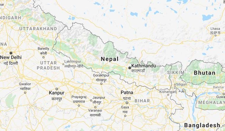
The Lipulekh pass is a far western point near Kalapani, a disputed border area between Nepal and India. Both India and Nepal claim Kalapani as an integral part of their territory. India take it as a part of Uttarakhand’s Pithoragarh district while Nepal as part of Dharchula district.
Nepalese Foreign Minister Pradeep Kumar Gyawali had last week summoned Indian Ambassador Vinay Mohan Kwatra. Then Gyawali handed over a diplomatic note of protest. It was against India inaugurating a key road connecting the Lipulekh pass with Dharchula in Uttarakhand.
India has maintained that the road section in Pithoragarh district in Uttarakhand lies completely within its territory.
PTI