Bhubaneswar: A low-pressure area is likely to form over the Bay of Bengal by May 10, according to the European weather model.
Various weather models have also indicated the possibility of a low-pressure area forming near the Sri Lanka and Tamil Nadu coasts, though its intensity and path have not yet been clearly predicted.


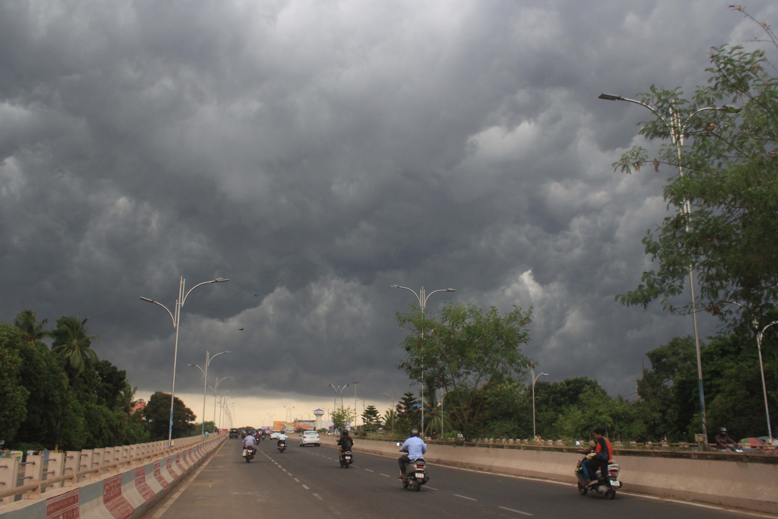
At present, a trough line persists over central India, due to which Kalbaisakhi rain activity is continuing in Odisha. Reports said the low-pressure area is expected to become clearer after the trough line weakens May 11.
Meanwhile, Regional Meteorological Centre Director Dr. Manorama Mohanty said there is currently no major weather system influencing Odisha. The state is witnessing a dip in temperature along with continued Kalbaisakhi activity.
Rain accompanied by thunder and lightning is likely across the state, while heavy rainfall has been forecast in some districts. Such conditions are expected to continue till May 12.
On Thursday, light to moderate rain is likely at some places in Mayurbhanj, Keonjhar, Balasore, Bhadrak, Jajpur, Kendrapara, Cuttack, Jagatsinghpur, Puri, Khordha, Nayagarh, Ganjam, Gajapati, Rayagada, Koraput and Malkangiri districts.
A yellow warning has also been issued for thunderstorm activity with lightning and wind speeds of 30 to 40 kmph in these areas.
On Wednesday, the temperature across the state remained below 40 degrees Celsius. Malkangiri recorded the highest temperature at 39.6 degrees Celsius, followed by Phulbani at 38.5, Chandbali at 36.2, Bhubaneswar and Angul at 36.1, Nuapada, Khordha and Talcher at 36, Nayagarh at 35.8, Jagatsinghpur and Paralakhemundi at 35.6, Bhadrak at 35.5, and Jharsuguda and Jagatsinghpur at 35.2 degrees Celsius.
Orissa POST – Odisha’s No.1 English Daily


