
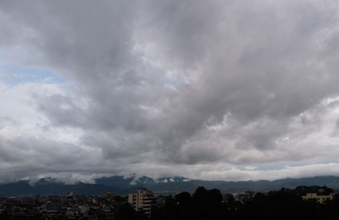
Bhubaneswar: The regional centre of IMD in Bhubaneswar in its weather alert said a well-marked low-pressure area over central parts of the north Bay of Bengal with an associated cyclonic circulation continues to persist. It is likely to move northwestwards and concentrate into a depression over next 12 hours.
Upto 8.30 AM of August 1: As per the Orange Warning (be updated), heavy to very heavy rainfall is very likely to occur at one or two places over Mayurbhanj, Balasore and Bhadrak districts.
As per the Yellow Warning (be updated), heavy rainfall is very likely to occur at one or two places over Jajpur, Kendrapara, Cuttack, Jagatsinghpur, Puri, Keonjhar, Dhenkanal, Angul, Deogarh, Sundargarh, Sambalpur, Subarnapur, Boudh, Kandhamal, Rayagada, Nabarangpur and Koraput districts.
In the same timeframe, light to moderate rain or thundershower is very likely to occur at most places over the districts of the state.
From 8.30 AM of August 1 to 8.30 AM of August 2: As per the Orange Warning (be updated), heavy to very heavy rainfall is very likely to occur at one or two places over Mayurbhanj, Keonjhar, Angul, Dhenkanal, Jajpur, Bhadrak, Deogarh, Sambalpur, Subarnapur, Boudh, Sundargarh, Cuttack and Balasore districts.
As per the Yellow Warning (be updated), heavy rainfall is very likely to occur at one or two places over Kendrapara, Jagatsinghpur, Jharsuguda, Bargarh, Nayagarh, Khurda, Puri, Kandhamal, Kalahandi, Bolangir and Nuapada districts.
In the same time frame, light to moderate rain or thundershower is very likely to occur at most places over the districts of the state.
The weather agency has suggested following impacts and actions regarding Orange Warning.
- Temporarily water logging is likely in lowlying areas and underpass roads.
- Traffic congestion in urban areas and traffic advisory may be issued for movement in your destination.
- Possibility of wall collapse of vulnerable kutcha houses and some damage to kutcha road.
- Mining activity may be judiciously regulated in Angul and Dhenkanal districts.
- Landslides in vulnerable hilly areas of Kalahandi and Kandhamal districts are likely.
In Bhubaneswar, for the next 24 hours, a generally cloudy sky with one or two spells of rain or thundershower is predicted by IMD. Maximum and minimum temperatures are very likely to be around 32 degree Celsius and 26 degree Celsius respectively.
In the last 24 hours, the highest maximum temperature of 35.7 degree Celsius was recorded at Gopalpur while the lowest minimum temperature of 22.0 degree Celsius was recorded at Phulbani, the bulletin informed.
PNN