
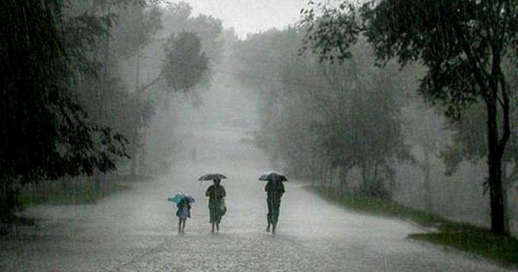
Bhubaneswar: The Indian Meteorological Department (IMD), regional center Sunday predicted heavy to very heavy rainfall at several parts of the State from today.
A low pressure area is likely formed over West Bengal and its neighbourhood that will trigger heavy to very heavy rainfall in around six districts.
Basically, North Coastal regions and parts of Southern Odisha will witness rain and thundershowers in the next 24 hours.
As per reports, districts like Mayurbhanj, Bhadrak, Keonjhar, Balasore, Sundargarh, Deogarh, Angul, Sambalpur, Cuttack, Dhenkanal, Kendrapara, Jajpur, and Jagatsinghpur will witness heavy to very heavy rainfall beginning from today.
Meanwhile, the MeT office forecast heavy rainfall in Angul, Deogarh, Bargarh, Sundargarh, Jharsuguda, Kandhamal, Sambalpur, Keonjhar, Kalahandi and Mayurbhanj from August 6.
Fishermen have also been warned not to venture into North Bay of Bengal and off Odisha Coast till August 7.
As per the Special Relief Commissioner’s office, 28 districts in Odisha received sporadic rainfall while two districts- Khurda and Puri have not received any rainfall during the past 24 hours.
Five districts received surplus rainfall of more than 19 per cent whereas 19 more districts received normal rainfall during the period.
Average rainfall of remaining six districts Angul, Nabarangpur, Sundargarh, Deogarh, Bolangir and Nuapada districts has remained deficit by -22.7 per cent, -21.5 per cent, -22.3 per cent, -22.4 per cent, -27.5 per cent and -32.7 per cent respectively.
PNN