
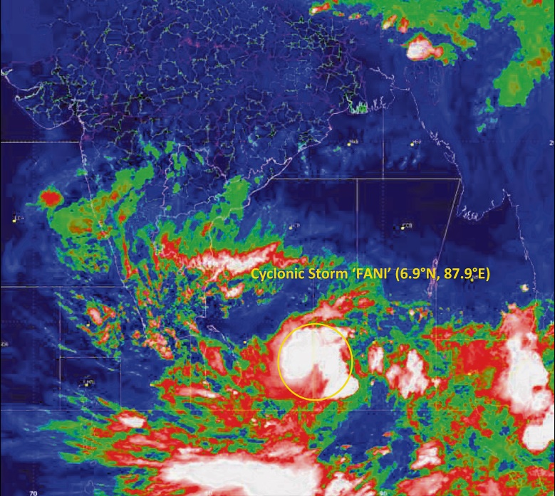
Bhubaneswar: Cyclone Fani, currently over the southeast Bay of Bengal and the adjoining East Equatorial Indian Ocean, is likely to intensify into a “very severe cyclonic storm” Monday, the Indian Meteorological Department said Sunday.
Fani is currently centred about 1,080-km southeast of Chennai and 1,260 km south-southeast of Machilipatnam (AP). “It is likely to intensify into a ‘severe cyclonic storm’ in the next 12 hours and into a ‘Very Severe Cyclonic Storm’ during the subsequent 24 hours. It is likely to move north-westwards till April 30 and thereafter recurve north-eastwards gradually,’’ said an IMD bulletin.
The Met officials said the cyclone may come 200 to 300 km close to the Andhra coast before changing its course to head towards coastal Odisha and Bangladesh.
When IMD officially announced that Fani is re-curving towards Odisha from May 1, the shocker from Indian National Centre of Ocean Information Services (INCOIS) model estimated that the Cyclone will actually make landfall between Kalingapatnam and Puri in the evening of May 3. A close analysis showed that the landfall will be on Odisha side, and probably near Chattrapur in Ganjam district.
However, the INCOIS analysis showed Fani may drift along the coastal belt of Odisha after the landfall.
While the IMD has predicted a wind speed of around 130 – 140Kmph May 3 and gusting up to 150Km/hour, the Joint Typhoon Warning Centre (JTWC) has predicted the wind speed at 185Kmph and gusting up to 190Km/hour. Apparently, Fani will not only bring pounding rain but wrecking large-scale devastation for Odisha.
The climatic reasons advanced for this occurrence is that cylonic systems are low pressure zones and they tend to move to high pressure zones. Post monsoon and in the month of October, the Sea Surface Temperature was higher than the temperature in the landmass. For this, low pressure areas were formed in Bay of Bengal and they move towards the high pressure zones in landmasses of Odisha or Andhra Pradesh.
The temperature in the Bay of Bengal is currently around 30-31° Celsius. But the atmospheric temperature prevailing in Odisha is around 40°Celsius. As the temperature is high in Odisha, the atmospheric pressure in the state is currently lower. For this, weather scientists have predicted the Fani to recurve towards Bangladesh.
But the latest INCOIS model suggests different dynamics and as a consequence, the cyclonic system is likely to make landfall in Odisha on the night of May 3.
There is seemingly little chance of the system dissipating in the Bay of Bengal. Because of the favourable conditions in the Bay, it is likely to intensify into a very severe cyclonic storm. An analysis reveals the sea surface temperature of the Bay of Bengal on May 1, after Fani takes a recurve, would be around 31 – 33° Celsius. The SST along the south Odisha coast May 1 will be hovering at around 31° Celsius.
Special relief Commissioner Bishnupada Sethi had earlier directed all collectors of coastal districts to remain alert and take necessary actions to re-vitalise the cyclone infra in the State.