
Bhubaneswar: A cyclonic circulation is active over interior Odisha between 4.5 and 7.6 kilometers above mean sea level, the regional centre of IMD in its weather update said Sunday.
The weather agency further stated that another cyclonic circulation is active over northeast Bay of Bengal and neighbourhood. Under its influence, a low-pressure area is likely to form over northwest and adjoining westcentral Bay of Bengal over the next 48 hours.
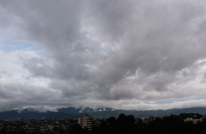
IMD also issued Yellow Warning for thunderstorms and heavy rainfall over several Odisha districts.
Upto 8.30 AM of September 4: As per the Yellow Warning (be updated), heavy to very heavy rainfall is very likely to occur at one or two places over Angul, Dhenkanal, Kalahandi, Boudh and Kandhamal districts.
Besides, heavy rainfall is very likely to occur at one or two places over Balasore, Bhadrak, Jajpur, Mayurbhanj, Keonjhar, Cuttack, Sambalpur, Deogarh, Subarnapur, Malkangiri, Koraput and Nabarangpur districts.
The weather agency forecast that thunderstorm with lightning is very likely to occur at one or two places over Balasore, Bhadrak, Jajpur, Kendrapara, Cuttack, Jagatsinghpur, Sundargarh, Jharsuguda, Bargarh, Sambalpur, Deogarh, Angul, Dhenkanal, Keonjhar, Mayurbhanj, Puri, Khurda, Nayagarh, Ganjam, Kandhamal, Boudh, Malkangiri, Koraput, Nabarangpur, Kalahandi, Rayagada and Subarnapur districts.
In the same timeframe, light to moderate rain or thundershower is very likely to occur at most places over the districts of Odisha.
Also read: Mortal remains of former Odisha Speaker Surjya Narayan Patro consigned to flames
From 8.30 AM of September 4 to 8.30 AM of September 5: As per the Yellow Warning (be updated), heavy to very heavy rainfall is very likely to occur at one or two places over Koraput, Kalahandi, Malkangiri, and Nabarangpur districts.
Besides, heavy rainfall is very likely to occur at one or two places over the districts of Khurda, Puri, Cuttack, Dhenkanal, Keonjhar, Sambalpur, Angul, Subarnapur, Boudh, Bargarh, Rayagada, Bolangir, Nuapada, Ganjam and Gajapati districts.
Thunderstorm with lightning is very likely to occur at one or two places over Balasore, Bhadrak, Jajpur, Kendrapara, Cuttack, Jagatsinghpur, Sundargarh, Jharsuguda, Bargarh, Sambalpur, Deogarh, Angul, Dhenkanal, Keonjhar, Mayurbhanj, Khurda, Puri, Nayagarh, Ganjam, Gajapati, Kandhamal, Kalahandi, Boudh and Subarnapur districts.
In the same time frame, light to moderate rain or thundershower is very likely to occur at most places over the districts of Odisha.
In Bhubaneswar, for the next 24 hours, rain or thundershower is likely to occur towards afternoon or evening, the IMD predicted. Maximum and minimum temperatures are very likely to be around 35 degree Celsius and 25 degree Celsius respectively.
In the last 24 hours, the highest maximum temperature of 37.2 degree Celsius was recorded at Chandbali and Jharsuguda while the lowest minimum temperature of 22.0 degree Celsius was recorded at Angul and Phulbani, the bulletin informed.
PNN