
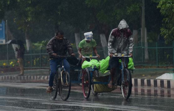
Bhubaneswar: A well-marked low-pressure area over the Bay of Bengal intensified into a depression Sunday, prompting authorities to place all districts in Odisha on high alert as the India Meteorological Department (IMD) forecast heavy to very heavy rainfall over the next few days.
Heavy rain continued to lash the state, with Khajurpada in Kandhamala district recording the highest rainfall of 276 mm during the 24-hour period ending at 8:30 am Sunday. Tureikela in Balangir district received 264 mm, while Bhubaneswar and Cuttack recorded 119.4 mm and 124.8 mm of rainfall, respectively.
IMD said the depression over the northwest Bay of Bengal and adjoining North Odisha-West Bengal coasts was centred about 50 km south-southeast of Baleshwar and south-southwest of Digha. It is very likely to cross the north Odisha coast between Chandbali and Digha within the next day.
The weather office issued a red warning — the highest level of its colour-coded alert system — for Sambalpur, Anugola, Boudh, Sonpur and Kandhamala districts. An orange alert was issued for 19 other districts, while six districts were placed under a yellow warning.
Under the influence of the system, the sea is expected to remain rough to very rough from July 5 to July 7. Fisherfolk have been advised not to venture into the sea during this period.